From property information to a concept worth discussing.
Understand the setting. Explore the layout. Review the quantities. cvLX CAD brings these early steps together so development teams can evaluate more than an empty boundary on a map.
Work with assemblies and materials—not just lines.
Bring parcel and topography sources with nationwide reach into the working model, subject to source coverage and local availability. Add property boundaries, setbacks, landscape strips and mapped environmental information. Incorporate supplied survey linework where appropriate.
Place and adjust buildings, truck courts, customer parking and drives. Use material-based views to communicate the concept, then review preliminary quantities and plan outputs with the project team. Native project files preserve the editable model; DXF provides a CAD exchange path for supported geometry.
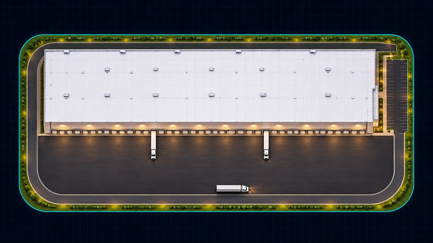
Site context
A clear starting point: the property, the available information and the development brief.
Visible constraints
Bring boundaries, setbacks and mapped site constraints into the concept conversation.
Editable assemblies
Shape buildings, loading, parking and access together—not one disconnected line at a time.
Preliminary quantities
Connect the layout to quantities and the next preconstruction pricing discussion.
Know what the model tells you—and what it does not.
Mapped floodplain, wetland, soil and terrain information helps frame a study; it does not replace a survey, field investigation or site-specific professional judgment. Source dates, resolution and coverage can affect what a concept establishes.
Grading and earthwork tools are in beta. Storm and utility workflows are under development; availability will be announced. We define the capabilities, deliverables and review responsibilities included in each partnership rather than treating every emerging feature as a finished engineering service.